
Lake County Neighbors by Source
A block lookup should distinguish land, ownership, civic status, and voluntary community membership. Lake County's map and tax systems cover parcels. They do not publish a complete household roll. Voter information has legal limits, and an association list covers only the people or groups that choose or qualify to join it. The best source depends on whether the question concerns a shared lot line, a recorded owner, a voting district, or a neighborhood organization.
| Source | What It Shows About a Block | Access |
|---|---|---|
| Tax Parcel Viewer v2 | Parcel shape, PIN, roads, lots, address points, nearby land | Public map viewer |
| Property Tax Information | Recorded owner, property location, separate mailing address | Public tax search |
| Official Records Search | Deeds, plats, lot and subdivision links | Web index, books, office terminals |
| Voter Power and voter files | Personal status or controlled district-level data | Personal tool or qualified request |
| Civic and HOA resources | Public association contacts and community programs | Public organization pages |
Ownership is not occupancy. A tax mailing address may belong to a manager, trust, company, or owner who lives elsewhere. Likewise, a postal city label does not establish the incorporated municipality. Keep the property-location field, mailing field, map geometry, and source date separate when identifying the lots around Lake County neighbors.
Map Lake County Neighbor Parcels
The Lake County Tax Parcel Viewer v2 supplies the strongest first view of an immediate block. Its composite locator accepts an address or place. Map layers include tax parcels, address labels and points, lots, subdivisions, condominiums, road centerlines, private rights of way, historic tax-map images, and ZIP codes. The map is a general reference, not a legal survey.
- Search the full address, then click its parcel. Save the PIN and the property-location wording.
- Click each parcel that touches it. Record every adjacent PIN before copying any owner name.
- Open each PIN in Lake County Property Tax Information. Compare the situs, which is the physical property location, with the mailing address.
- Use the PIN, legal description, lot, and subdivision to confirm the same land in the recorder index or plat.
This is a compact radius method. For every address along a named road, the Lake County street directory provides the broader by-street workflow.
Lake County Map Lines Differ
Three lines can cross the same block without meaning the same thing. A parcel boundary describes a tax and land unit. A municipal line marks incorporated government. A ZIP label serves mail delivery. Lake County GIS returned 37 distinct nonblank ZIP values from its address layer, but that count is not a list of municipalities. Waukegan, North Chicago, Great Lakes, and ZIP 60088 show why postal place names can shift across civic geography.
Use the county cities, townships, and villages reference for local government context. Use the official USPS address lookup for an exact delivery label. A GIS ZIP layer is helpful for orientation, yet the county cautions that GIS data is general reference. A surveyor and recorded plat control a disputed legal boundary.
Common myth. Matching tax mail, ZIP city, and GIS labels still does not prove that an owner physically lives on the parcel.
Lake County Blocks in Plats
A set of neighboring parcels often shares a recorded development history. Search the Lake County Official Records advanced index with a PIN, address, legal description, document type, or party name. A plat can identify the subdivision, lot and block numbers, condominium structure, easement, or right of way that joins nearby land. A deed connects one parcel to a grantor and grantee, which are the transferring party and receiving party.
The live land index generally begins in 1980. Plats have much older certified coverage, and pre-1980 deed research moves to Online Index Books, grantor and grantee books, and office terminals. That distinction matters on an old Lake County block. The absence of an early deed from the modern box does not erase the earlier chain. Save document numbers, recording dates, book and page references, and legal descriptions as you move between systems.
Note: An easement or shared right of way explains land use, not the identity of every person who uses it.
Lake County Neighbor Networks
Lake County does not publish a countywide private-household association directory. It does publish useful community gateways. The 2026 Lake County HOA Workshop is an umbrella event with 70 in-person and 40 virtual spaces, six speakers, four sessions, and 12 vendors. Topics include association and owner responsibility for detention ponds, wetlands, and natural areas. It shows active local concerns without claiming to list all associations.
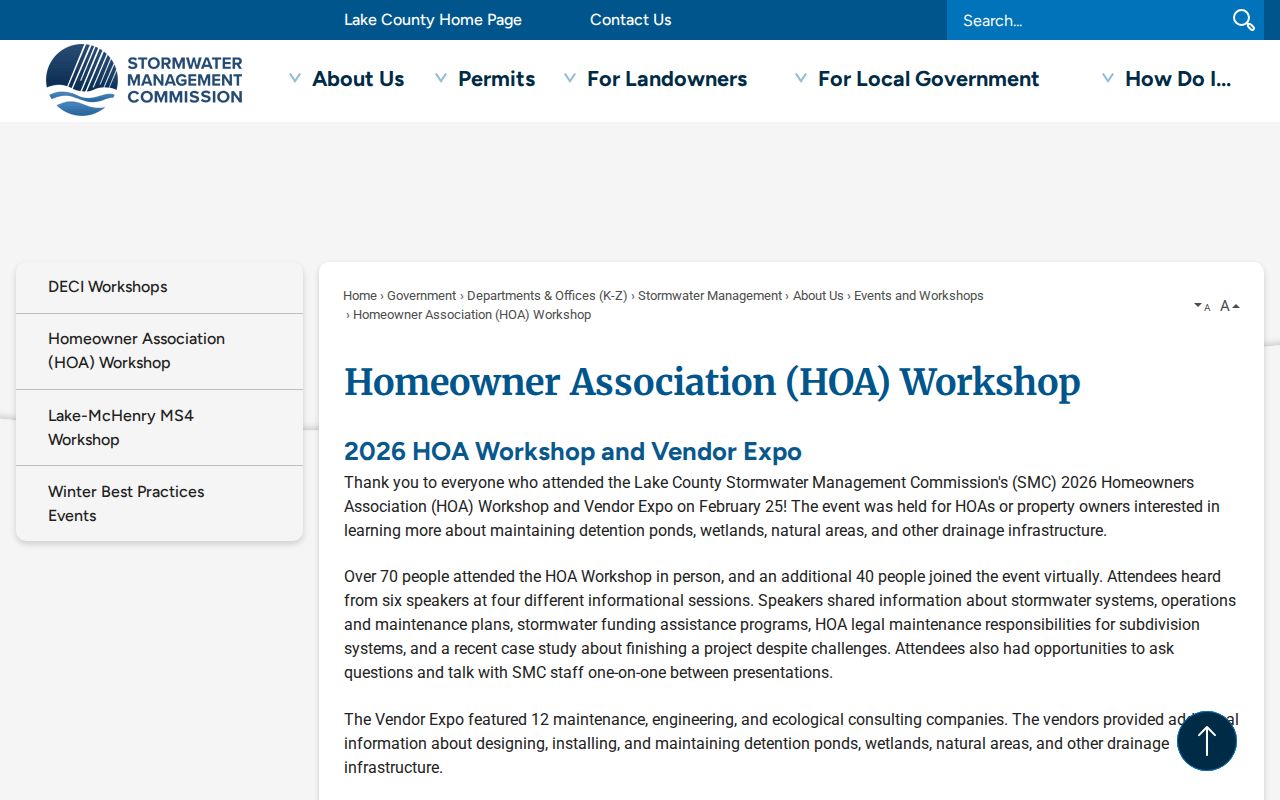
The workshop capture connects block research to shared-land and association questions while preserving the limit that it is not a resident roster.
The Sheriff Community Services Team links neighborhood watch, civic organizations, and the Citizens Police Academy. These are public participation routes, not a source of private household details.
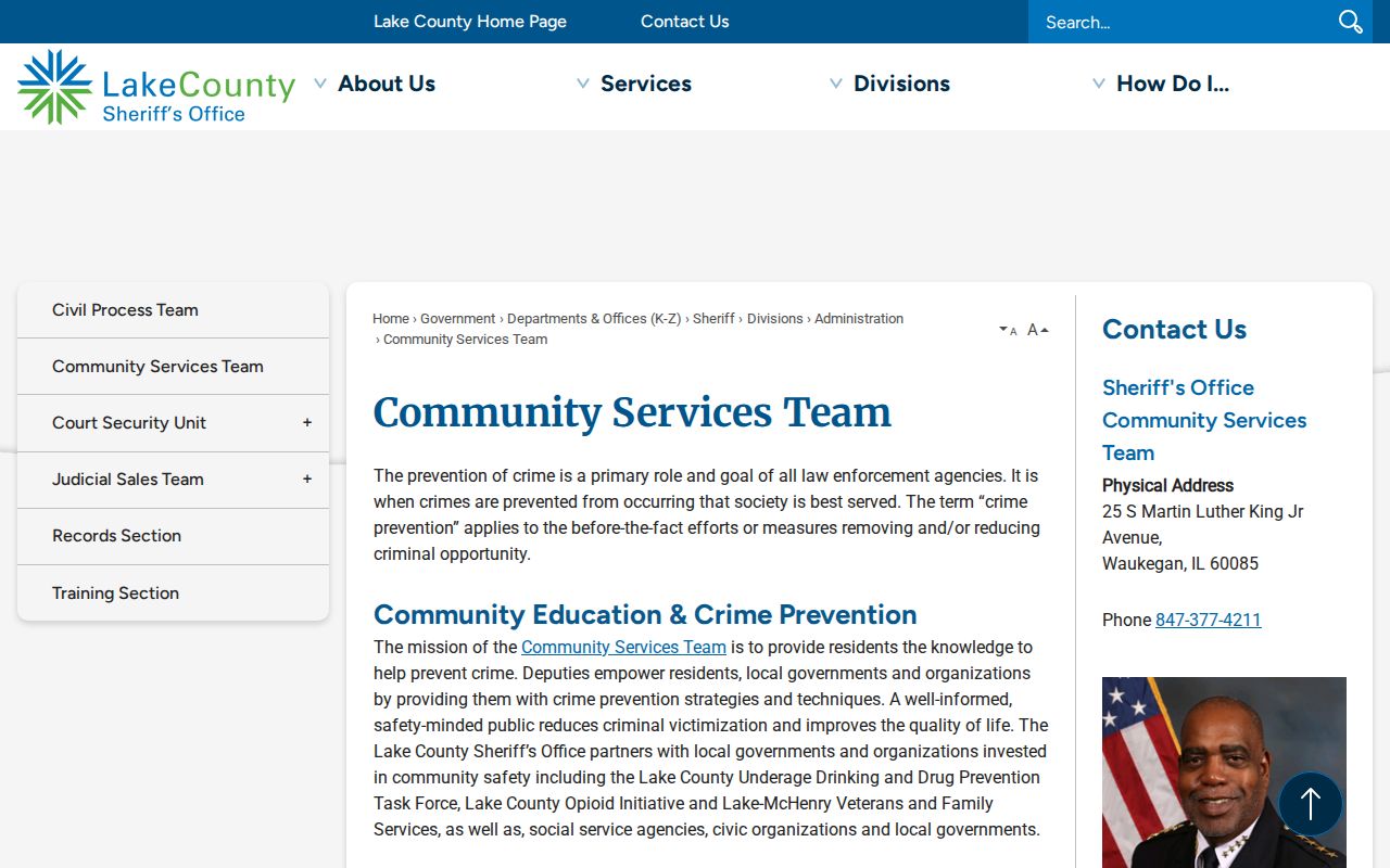
The community-services image points readers toward organized public contact instead of an inferred list of people on the block.
Public Lake County Associations
Named association sites can confirm that a group serves a particular development, but each site defines its own membership and access. They must be checked for current status. The examples below are public points of contact found in the Lake County research, not proof that every nearby parcel belongs to an association.
Providence Village HOA
Public association site for Providence Village information and contacts.
Oakwood HOA
Public Oakwood HOA site; verify the current community scope with the association.
Delaware Crossing HOA
Public association overview describing Delaware Crossing.
The Providence Village HOA source supplied a page image for this Lake County neighbor search.
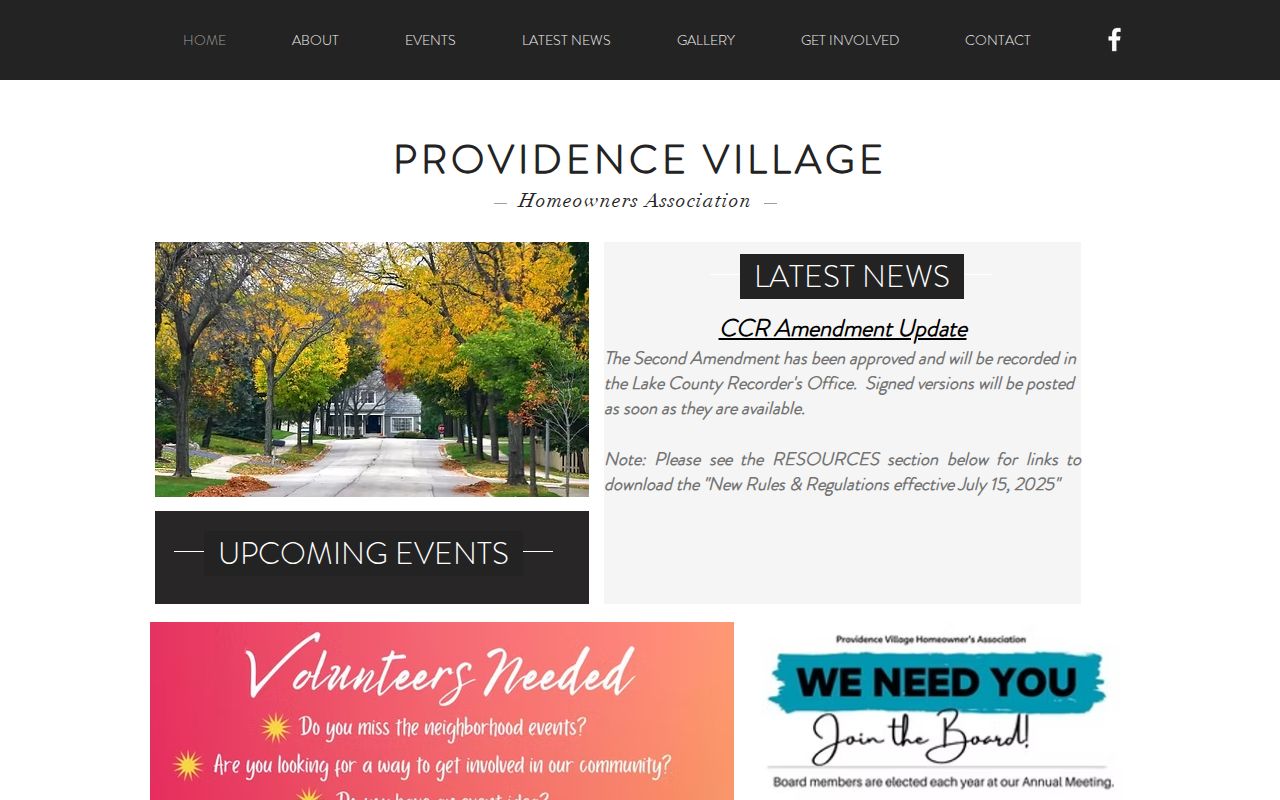
The screenshot is evidence of a public association presence, not an invitation to infer private member or occupant names.
Lake County Civic Directory Layers
Umbrella directories answer broader questions. The Lake County Municipal League membership list identifies participating municipalities and provides a route into local government. It does not identify households or establish which city label belongs to a parcel.
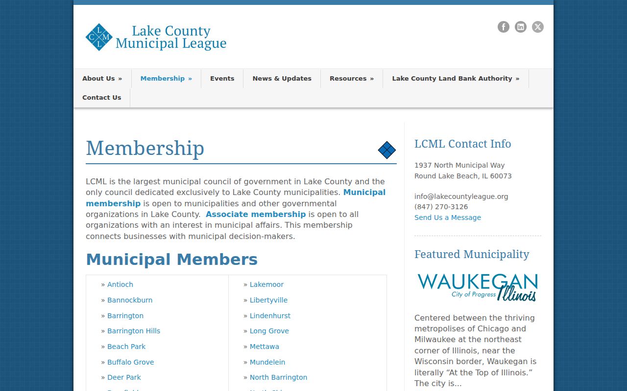
The membership capture helps route a civic question to the right municipality after the parcel's actual jurisdiction is checked.
The Visit Lake County Partners Directory lists local organizations and businesses. It can supply a public contact for a community venue or group, but it is not a neighbor roll.
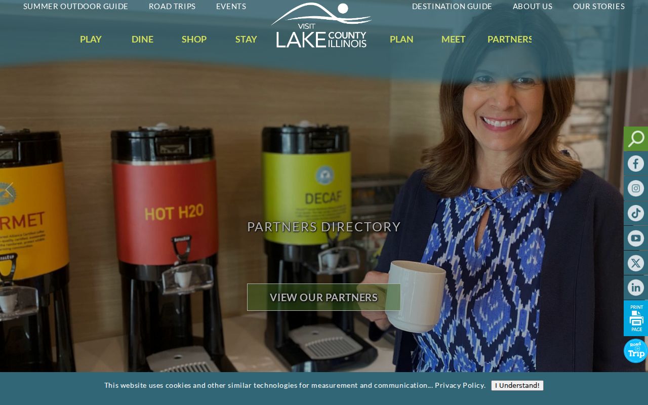
The partners image shows the public organization layer that can sit around a block without exposing private residents.
Lake County Voter Block Rules
Lake County Voter Power is meant for a registered voter's own status, address, districts, ballot, and polling details. It is not an open screen for listing neighbors at every street number. The county's voter file includes district and participation fields, but no ballot choices, and Illinois has no party registration.
Electronic voter data is limited to qualified political committees and government entities for bona fide permitted purposes. The county form can request precinct, municipal, ward, township, school, library, park, fire, and other district slices. It requires certification and bars commercial solicitation. Under 10 ILCS 5/1A-25, phone, Social Security, birth-date, email, and street-number information receives statutory protection or redaction as described in the law.
For personal block research, use public parcel and civic sources. Do not claim that a voter file is a general directory of Lake County neighbors.
Official Lake County Neighbor Evidence
Official rolls and commercial neighbor tools answer different questions. The official source has a named custodian, a defined purpose, and a date. A compiled service may merge old addresses, phone data, and people with similar names. That makes it faster to browse but weaker as proof. No compiled profile can turn tax ownership into occupancy.
| Source Type | Strongest Use | Main Limit |
|---|---|---|
| County parcel and tax records | Lot shape, PIN, recorded owner, tax fields | Owner may not occupy the parcel |
| Recorder deeds and plats | Title transfer and development geometry | Not a household list |
| Public civic organizations | Community contacts and programs | Voluntary or limited membership |
| Commercial compiled category | Possible broad lead | Unclear dates, merges, and stale data |
Lake County Neighbors Block History
Ownership records show transfers, but maps and permits explain how the scene around neighboring parcels changed. Lake County Planning identifies countywide aerial photography from various years between 1939 and 2010. The GIS viewer also carries historic tax-map imagery. Date each view before comparing a former field, road, lot line, or building footprint with the present map. An aerial is visual evidence, not a title document.
Within Waukegan, public monthly permit reports cover 2023 through 2026. Older permit or code material may require the city department or a focused records request. Code complaints themselves are not public, so do not infer a complaint from a later citation. A permit, plat, aerial, and assessor card can document change from separate angles. Keep gaps explicit when one year or record series is unavailable.
Protect Lake County Neighbors
Public property records do not reveal every renter, child, guest, or household member. Utility and delivery records are not open block directories. A complaint may also be private even when a later citation or hearing record is public. Waukegan Code Compliance, for example, says complaints are not public, while some citations, hearing material, or lien records may be available through the proper city channel.
Illinois's Address Confidentiality Program under 750 ILCS 61 gives eligible survivors a substitute address in new state and local records. A protected address, redacted field, or missing name is a stop signal. Never rebuild it from relatives, nearby parcels, mail fields, or social posts. Confirm a record with its custodian and retain the date because ownership, association status, and public access can change.
Lawful use. Research Lake County neighbors only for lawful civic, property, family, or personal-safety purposes. Never watch, stalk, harass, intimidate, or harm anyone.