
Lake County ZIP Coverage
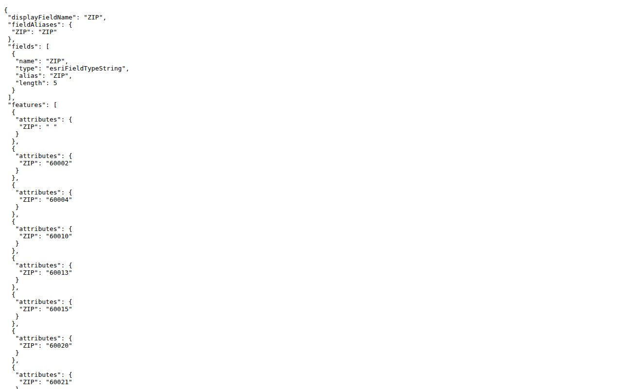
The county GIS address layer returned 37 distinct nonblank ZIP values. These are ZIPs touching address features in Lake County, not a claim that each postal territory lies wholly within the county. The table keeps local touchpoints and boundary cautions together.
| ZIP | Areas served | Postal label | Boundary note |
|---|---|---|---|
| 60002, 60020, 60041, 60046 | Antioch, Fox Lake, Ingleside, Lake Villa area | Antioch grouping | Multiple communities share the label group |
| 60010, 60069, 60089 | Barrington, Lincolnshire, Buffalo Grove edges | Barrington grouping | Village limits differ |
| 60030, 60031, 60048, 60083 | Grayslake, Gurnee, Libertyville, Wadsworth | Wadsworth grouping | Exact parcel controls |
| 60035, 60040, 60044, 60045, 60064, 60088 | Highland Park, Highwood, Lake Bluff, Lake Forest, North Chicago, Great Lakes | Glencoe grouping | Postal group spans several municipalities |
| 60047, 60060, 60061, 60084 | Lake Zurich, Mundelein, Long Grove, Wauconda | Lake Zurich grouping | Township and ZIP differ |
| 60085, 60087, 60096, 60099 | Waukegan, Beach Park, Winthrop Harbor, Zion | Waukegan grouping | Mail label is not a city-limit ruling |
| 60004, 60013, 60015, 60021, 60022, 60042, 60050, 60051, 60062, 60073, 60074, 60081 | County-edge and border service areas | Several USPS cities | County line needs parcel verification |
The complete values are 60002, 60004, 60010, 60013, 60015, 60020, 60021, 60022, 60030, 60031, 60035, 60040, 60041, 60042, 60044, 60045, 60046, 60047, 60048, 60050, 60051, 60060, 60061, 60062, 60064, 60069, 60073, 60074, 60081, 60083, 60084, 60085, 60087, 60088, 60089, 60096, and 60099.
Lake County Has 37 ZIP Values
The ZIP count is a useful local number, but it needs context. A county ARPA map showed a smaller labeled subset, while the live GIS query returned 37 values. The difference reflects the source and purpose of each map. Edge addresses can introduce a ZIP even when most of its delivery area sits elsewhere.
The county GIS ZIP query exposes the distinct values used for the broad list.
Search Lake County by ZIP
A ZIP code directory narrows a large county before street-level work begins. The property portal is the main official roll with a direct ZIP filter. GIS supplies map context. USPS confirms the standardized postal form of one known address.
- Enter the ZIP in the Lake County basic property search and select current records.
- Add a city or street only after checking which postal label the address uses.
- Use Advanced Search when sale date, year built, township, school district, or property class helps narrow results.
- Map a chosen parcel or address in GIS, then verify the delivery city through USPS.
- Once the area is small enough, use the Lake County street directory to follow the address and deed chain.
The recorder does not expose a confirmed dedicated ZIP field. Move from ZIP to address or PIN in the assessor and GIS before searching deeds. Voter Power is a personal status tool, not a public ZIP-wide roster.
Filter Lake County ZIP Records
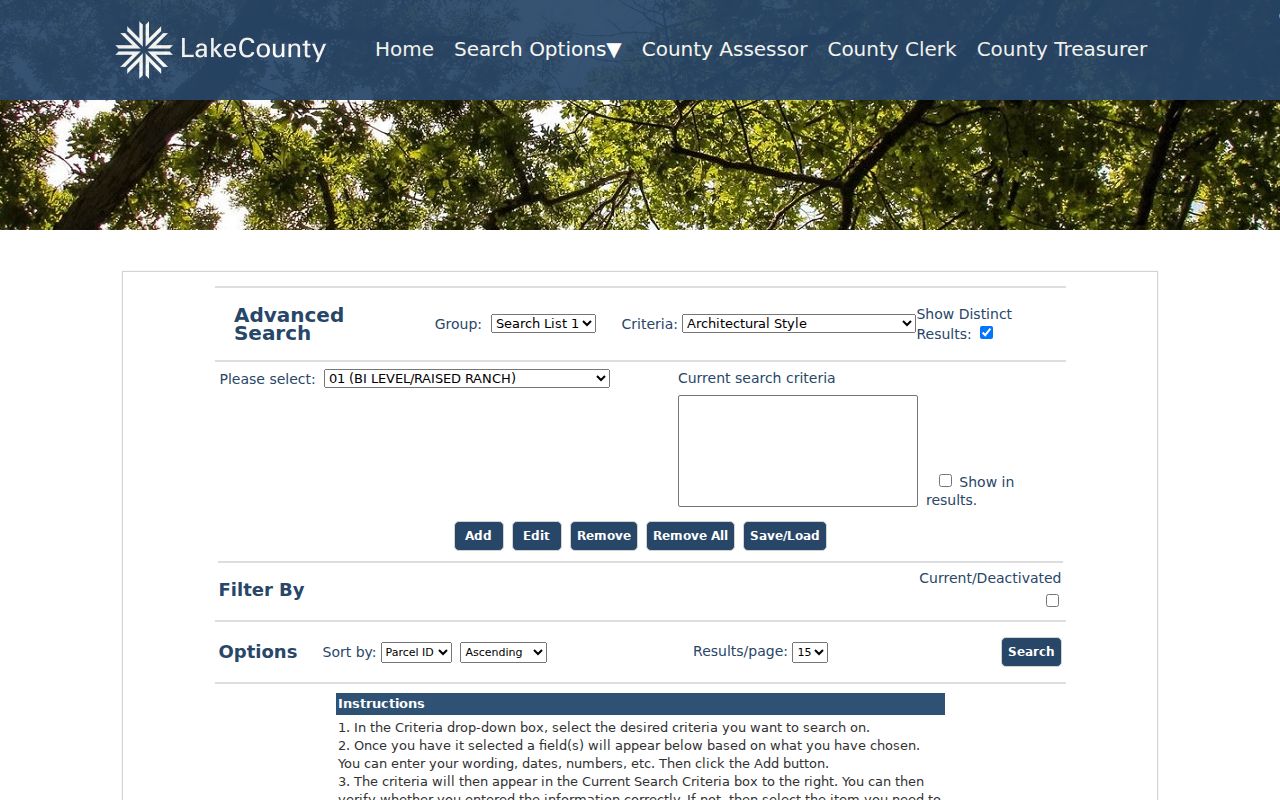
The basic tax search treats ZIP Code as one main criterion and can sort by PIN, owner, or address. Advanced Search can combine ZIP with owner, street, sales, year built, municipality or township, school district, tax-code district, and property class. Tax year matters because Lake County offices work on different years in Illinois' two-year tax cycle.
| Portal field | Type | Use with ZIP |
|---|---|---|
| ZIP Code | Basic or advanced criterion | Builds the first postal-area result set |
| Street / owner | Text criterion | Narrows the result set |
| Municipality / township | Advanced choice | Separates postal and local-government layers |
| Sale date / year built | Advanced range | Finds parcels matching a dated question |
| Current / deactivated | Status control | Includes old parcel records when needed |
| Distinct results / output fields | Advanced controls | Reduces repeats and selects useful columns |
The Lake County advanced property search shows these combined options.
Verify a Lake County Address
The USPS ZIP Code Lookup offers searches by address, by city and state, and by ZIP. Its address form uses company, street, apartment, city, state, and optional ZIP fields. The result standardizes delivery information. It does not confirm that a person occupies the address or that the postal city matches a municipal boundary.
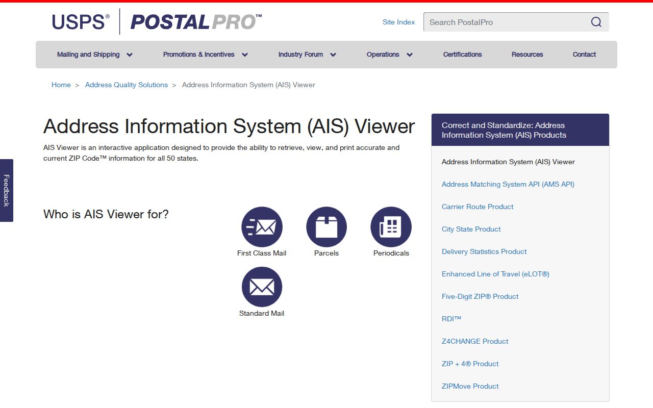
The USPS AIS Viewer adds monthly city, state, county, post-office, delivery-type, and ZIP+4 reference data.
Lake County ZIP Terms
Several postal units can appear in an address search. They describe mail routing at different levels, not public-resident lists.
- ZIP code
- A five-digit USPS delivery area that may cross municipal or county lines.
- ZIP+4
- The five-digit ZIP plus four digits that narrow a delivery segment.
- PO-box ZIP
- A ZIP assigned primarily to post-office-box delivery.
- Unique ZIP
- A ZIP assigned to one high-volume organization or site.
- Carrier route
- A mail-delivery path within a ZIP, not a neighborhood boundary.
A carrier route can change as delivery operations change. Use the current exact-address result for mail and county records for parcel or government boundaries.
Waukegan ZIP Labels Cross Lines
Waukegan, North Chicago, Great Lakes, and nearby ZIPs show why postal names can be misleading. ZIP 60085 and 60087 use Waukegan labels, 60064 is associated with North Chicago, and 60088 has Great Lakes or Waukegan-area touchpoints. USPS label groupings may place several of them under a broader city heading.
Boundary check. Compare the USPS exact address, the county GIS parcel, and the county municipality map before assigning a Lake County address to a city or township.
This is the central myth to avoid: a mailing city does not by itself prove physical residence inside that city. The assessor's property location and mailing address may also differ for the same parcel.
Lake County ZIP Is Not Precinct
ZIP, precinct, ward, township, school district, and municipality are separate layers. Illinois voter files can contain district assignments based on a registration address, but Lake County restricts bulk electronic voter files to qualified political committees and governmental entities for lawful purposes. The personalized Voter Power service lets a registered voter check status, ballot style, districts, and voting locations.
Do not estimate a precinct from a ZIP code directory. Check the official election tool for an eligible personal inquiry or ask the Clerk about the correct district record. Ballot choices are not part of the public voter file, and a participation record does not reveal how someone voted.
Lake County ZIP History Gaps
The reviewed official sources did not establish a dated Lake County ZIP split, consolidation, or realignment history. That gap should remain explicit. It is not sound to infer a change date from a modern map or from the first appearance of a postal label in a directory.
For an older address, compare dated city directories, telephone books, newspaper advertisements, parcel and plat records, and USPS historical material. Waukegan also renumbered at least some streets around 1922, as shown by the change from 713 N Genesee to 614 N Genesee. That was a street-number issue, not proof of a ZIP event.
Note: Record the publication date of each postal source so a current ZIP label is not projected backward into an earlier Lake County address.